
Mapping Drone
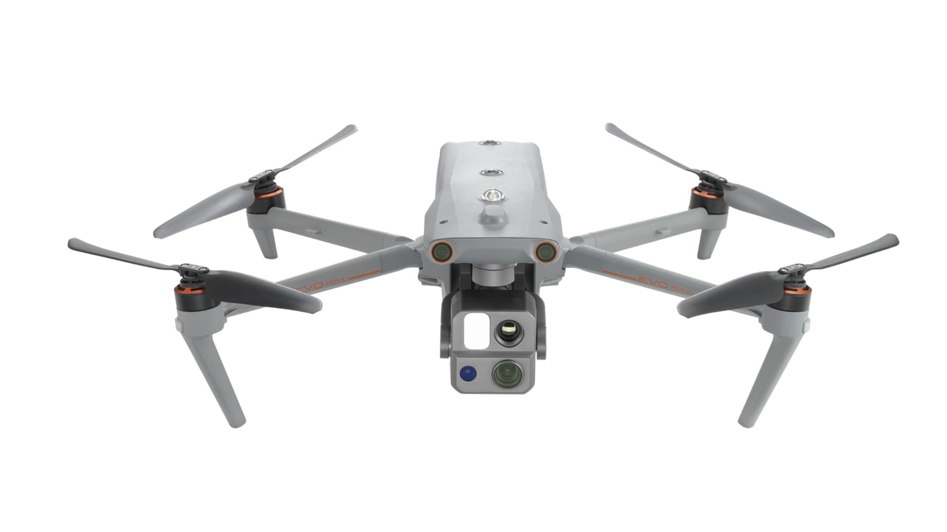
Autel EVO II Pro RTK V3
Description
AUTEL EVO II PRO RTK V3
Garansi Resmi Autel Indonesia
Key Features:
20MP 1" CMOS Sensor for 6K Video
Adjustable f/2.8 to f/11 Aperture
Integrated RTK Module for Centimeter-Level Positioning Accurac
Supports PPK Post-Processing
Autel Smart Controller V3 with 7.9" Display
SkyLink 2.0 Image Transmission System
Up to 15 km Transmission Distance (FCC)
360° Omnidirectional Obstacle Avoidance
3-Axis Gimbal Stabilization
Up to 36 Minutes of Flight Time
Foldable Design for Easy Transportation
Supports High-Precision Aerial Mapping and Surveying
The Autel EVO II Pro RTK V3 is a professional aerial mapping and surveying drone designed for high-precision geospatial data acquisition. Equipped with a 20MP 1-inch CMOS sensor, adjustable aperture, and an integrated RTK module, this drone delivers detailed aerial imagery and centimeter-level positioning accuracy under suitable RTK operating conditions. It supports PPK post-processing, making it suitable for land surveying, photogrammetry, orthophoto generation, topographic mapping, and other professional mapping applications.
In the Box:
Autel EVO II Pro RTK V3 Aircraft
Autel Smart Controller V3
RTK Module
Intelligent Flight Battery
Battery Charger
Spare Propellers
Accessories and Cables (according to package variant)
Product Warranty:
Official Autel Indonesia Warranty (according to applicable terms)
New Product, 100% Original and Official
Note and Terms:
Complaints must include an unboxing video recorded continuously from opening the package until the product has been checked and tested.
Complaints without an unboxing video cannot be processed for claims.
Training, certification, warranty duration, and package contents are subject to the seller's offer and applicable terms.
Rp 69.000.000
You Might Also Like